

Maps & Topography
Showing 129–144 of 200 resultsSorted by latest
-
National Map Series 43: Islay & Kintyre : Bartholomew
£4.05 Add to cart -
National Map Series 44: Glasgow and the Clyde : Bartholomew
£4.05 Add to cart -
Connemara: The Last Pool of Darkness : Tim Robinson
£18.00 Add to cart -

Isles of Scilly. Fifth Relief Edition : Ordnance Survey
£6.75 Add to cart -

2.5 inch map. Sheet SE 58 Rievaulx : Ordnance Survey
£5.40 Add to cart -
Portmadoc Sheet SH 53 1:25 000 First Series : Ordnance Survey
£4.50 Add to cart -

Larne: Sheet 9 (Irish Discoverer Series) : Ordnance Survey of Northern Ireland
£5.85 Add to cart -

Galway, Mayo (S Cent): Sheet 38 (Irish Discovery Series) Sheet 38 : Ordnance Survey Ireland
£4.50 Add to cart -

Mayo (SW), Galway (Discovery Series): Sheet 37 : Ordnance Survey Ireland
£4.05 Add to cart -

New Reduced Survey. Sheet 20 Central Ross-Shire : Bartholomew’s
£5.40 Add to cart -
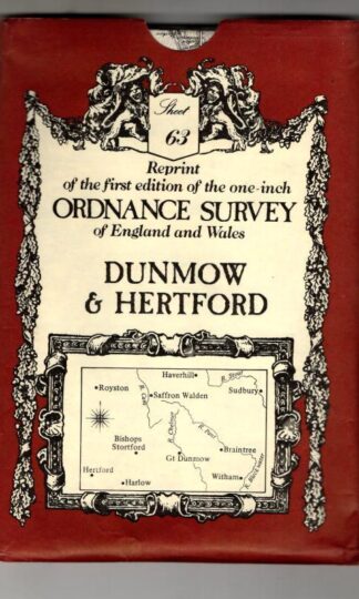
Dunmow (No. 63) (Victorian Ordnance Survey) : David & Charles
£4.50 Add to cart -
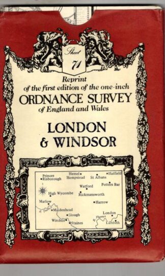
Victorian Ordnance Survey Maps No. 71: London & Windsor : David & Charles
£4.05 Add to cart -
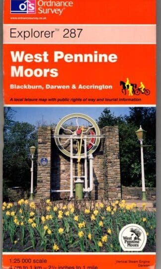
Explorer Sheet 19. West Pennine Moors : Ordnance Survey
£4.50 Add to cart -

Ancient Britain. Historical Map & Guide : Ordnance Survey
£5.85 Add to cart -
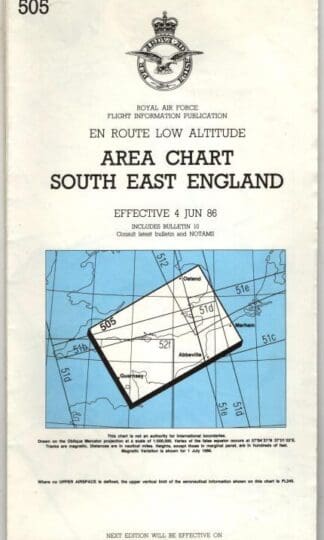
505 en route low altitude area chart South East England 4 Jun 86 : Royal Air Force
£9.00 Add to cart -
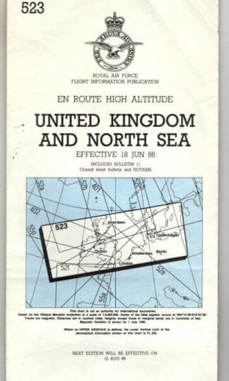
523 en route high altitude United Kingdom and North Seaeffective 18 Jun 86 : Royal Air Force
£9.00 Add to cart
Showing 129–144 of 200 resultsSorted by latest