

Maps & Topography
Showing 17–32 of 257 resultsSorted by latest
-
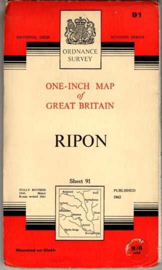
One-Inch Seventh Series Sheet 91 Ripon : Ordnance Survey
£5.40 Add to cart -
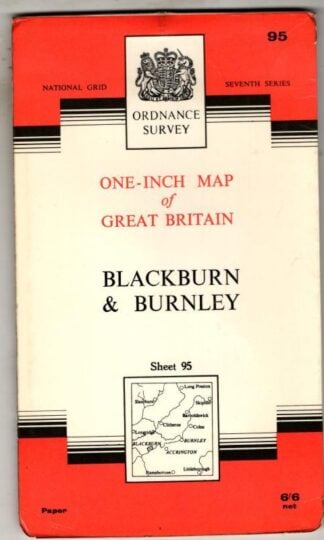
One-Inch Seventh Series Sheet 95 Blackburn & Burnley : Ordnance Survey
£4.50 Add to cart -
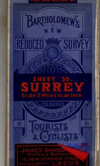
Reduced Survey Tourists & Cyclists Sheet 30 Surrey : Bartholomew
£7.20 Add to cart -
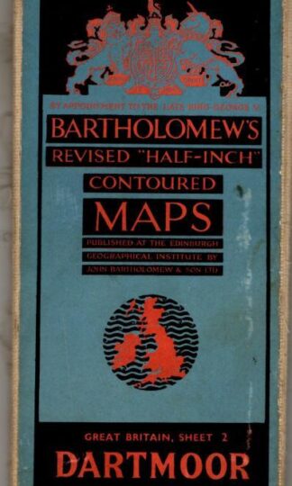
Revised Half-Inch Great Britain Dartmoor Sheet 2 : Bartholomew
£4.50 Add to cart -
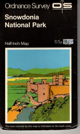
Snowdonia Showing National Park Boundary Tourist Map : Ordnance Survey
£4.50 Add to cart -
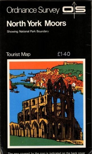
The North York Moors Showing National Park Boundary Tourist Map : Ordnance Survey
£4.50 Add to cart -
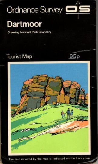
Dartmoor Showing National Park Boundary Tourist Map : Ordnance Survey
£4.50 Add to cart -
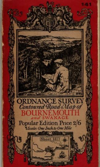
Contoured Road Map, Popular Edition, Sheet 141 Bournemouth and Swanage : Ordnance Survey
£4.50 Add to cart -
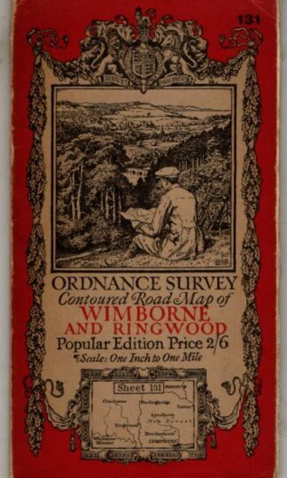
Contoured Road Map, Popular Edition, Sheet 131 Wimborne and Ringwood : Ordnance Survey
£4.50 Add to cart -
Revised Half-Inch Great Britain New Forest Sheet 5 : Bartholomew
£4.50 Add to cart -
Revised Half-Inch Great Britain New Ayrshire Sheet 40 : Bartholomew
£4.50 Add to cart -
The Stane Street : Hilaire Belloc
£22.50 Add to cart -
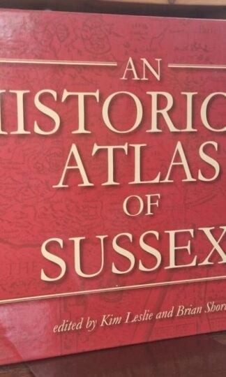
An Historical Atlas of Sussex : Kim Leslie and Brian Short
£13.50 Add to cart -
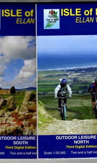
Isle of Man Public Rights of Way and Outdoor Leisure Map : Department of Local Government.
£6.75 Add to cart -
Middleton Fell Sheet SD 68 1:25,000 First Series : Ordnance Survey
£4.05 Add to cart -
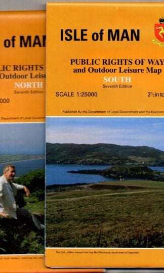
Isle of Man Public Rights of Way and Outdoor Leisure Map : DEpartment of Local Government
£6.75 Add to cart
Showing 17–32 of 257 resultsSorted by latest