

Maps & Topography
Showing 177–192 of 223 resultsSorted by latest
-

Revised Half-inch Sheet 6 Sussex : Bartholomew
£5.85 Add to cart -

Revised Half-inch Sheet 26 Essex : Bartholomew
£5.85 Add to cart -
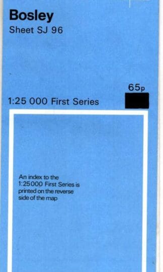
1:25000 First Series. Sheet SJ 96 Bosley : Ordnance Survey
£4.50 Add to cart -
The Topography of Freebridge hundred and half, in the county of Norfolk, containing the history and antiquities of the borough of King’s Lynn : Charles Parkin
£90.00 Add to cart -
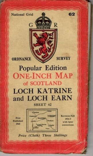
One-Inch Map of Scotland. Sheet 62 Loch Katrine : Ordnance Survey
£5.85 Add to cart -
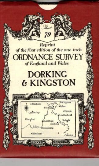
Dorking & Kingston, Sheet 79 (Victorian Ordnance Survey) : David & Charles Publishing (Creator)
£4.50 Add to cart -
1:25000 First Series. Sheet SS 74 Lynton : Ordnance Survey
£4.50 Add to cart -
1:25000 First Series. Sheet SP27 Honiley : Ordnance Survey
£4.50 Add to cart -
Landranger 141 Kettering, Corby : Ordnance Survey
£3.60 Add to cart -

Revised Half-inch Sheet 48 Perthshire : Bartholomew
£4.50 Add to cart -

Half inch Sheet 37 Galloway : Bartholomew
£4.05 Add to cart -
Revised Half-inch Sheet 58 Cape Wrath : Bartholomew
£3.60 Add to cart -

Explorer 297 Lower Wharefedale & Washburn Valley : Ordnance Survey
£5.85 Add to cart -

Pathfinder SP 23/33 Moreton-in-Marsh & Hook Norton : Ordnance Survey
£4.50 Add to cart -

Chichester, South Harting and Selsey: Sheet 120 (OS Explorer Map) : Ordnance Survey
£6.75 Add to cart -
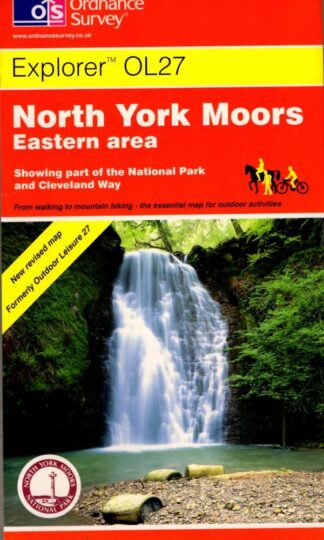
North York Moors: Eastern Area: Sheet 27 (Explorer Maps) : Ordnance Survey
£4.95 Add to cart
Showing 177–192 of 223 resultsSorted by latest