

Maps & Topography
Showing 145–160 of 200 resultsSorted by latest
-
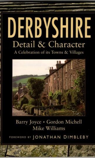
Derbyshire: Detail and Character – A Celebration of Its Towns and Villages (Regional Series) : Barry Joyce, Gordon Michell, Mike Williams
£4.95 Add to cart -
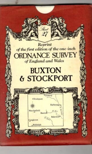
Buxton (No. 27) (Victorian Ordnance Survey) : David & Charles Publishing
£4.50 Add to cart -
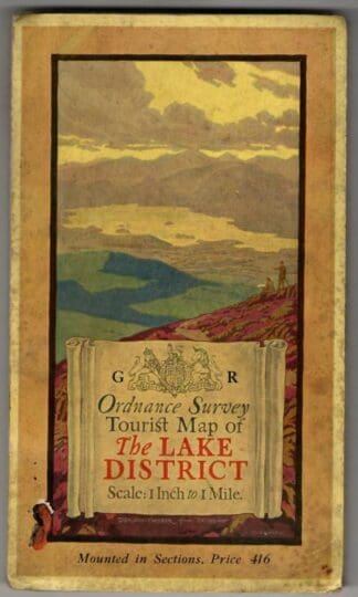
Tourist Map of The Lake District : Ordnance Survey
£27.00 Add to cart -
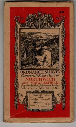
Contoured Road Map. Sheet 44, Northwich & Macclesfield : Ordnance Survey
£7.20 Add to cart -

Suffolk and Cambs, Penguin Guide : L. Russel Muirhead
£6.75 Add to cart -
The islands of England;: A survey of the islands around England and Wales, and the Channel Islands (The Face of Britain) : John Henry Ingram
£10.80 Add to cart -

Revised Half-inch Sheet 6 Sussex : Bartholomew
£5.85 Add to cart -

Revised Half-inch Sheet 26 Essex : Bartholomew
£5.85 Add to cart -
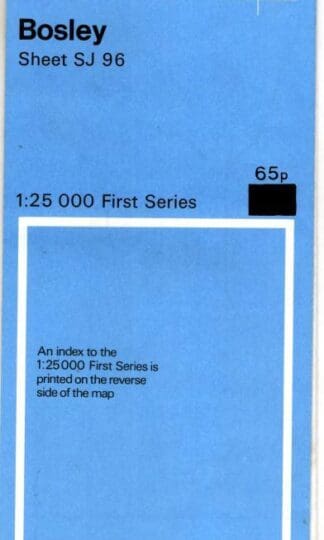
1:25000 First Series. Sheet SJ 96 Bosley : Ordnance Survey
£4.50 Add to cart -
The Topography of Freebridge hundred and half, in the county of Norfolk, containing the history and antiquities of the borough of King’s Lynn : Charles Parkin
£90.00 Add to cart -

One-Inch Map of Scotland. Sheet Glen Cova : Ordnance Survey
£5.85 Add to cart -
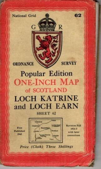
One-Inch Map of Scotland. Sheet 62 Loch Katrine : Ordnance Survey
£5.85 Add to cart -
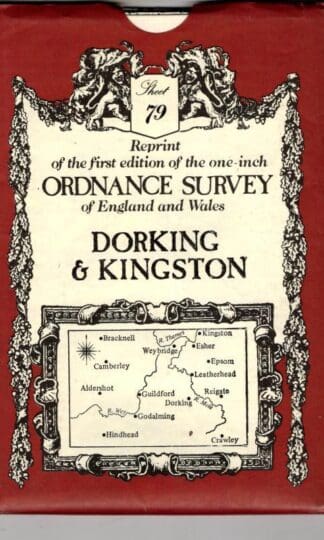
Dorking & Kingston, Sheet 79 (Victorian Ordnance Survey) : David & Charles Publishing (Creator)
£4.50 Add to cart -
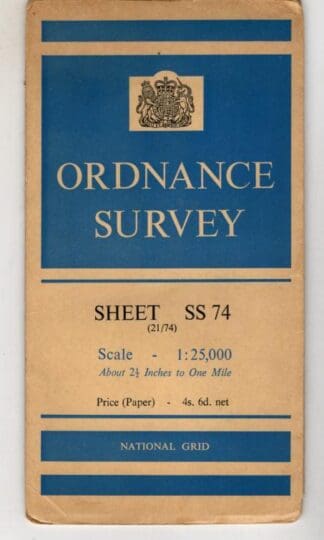
1:25000 First Series. Sheet SS 74 Lynton : Ordnance Survey
£4.50 Add to cart -
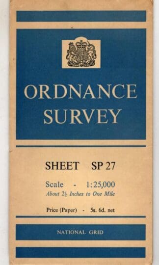
1:25000 First Series. Sheet SP27 Honiley : Ordnance Survey
£4.50 Add to cart -
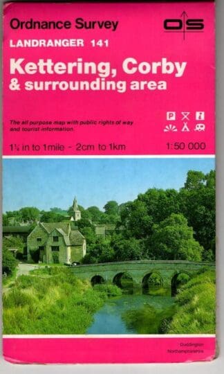
Landranger 141 Kettering, Corby : Ordnance Survey
£3.60 Add to cart
Showing 145–160 of 200 resultsSorted by latest