

Maps & Topography
Showing 33–48 of 176 resultsSorted by latest
-
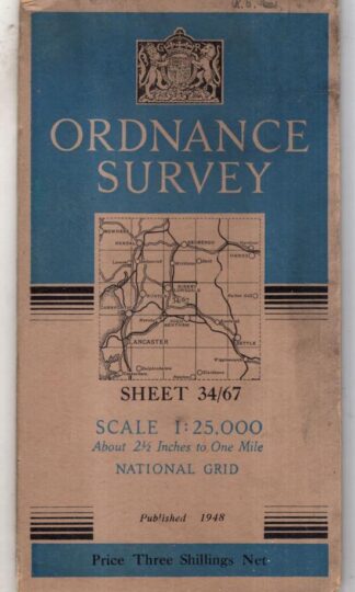
National Grid Sheet 34/67 : Ordnance Survey
£6.30 Add to cart -

National Grid Sheet 34/57 : Ordnance Survey
£6.30 Add to cart -

Cuillin Hills NG 42/52 1:25000 Second Series : Ordnance Survey
£4.50 Add to cart -

Alyth and Glamis NO 24/34 1:25000 Second Series : Ordnance Survey
£4.50 Add to cart -

Chirk & Ellesmere : Pathfinder 827 : Ordnance Survey
£4.50 Add to cart -
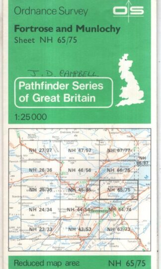
Fortrose and Munlochy: Pathfinder NH 65/75 : Ordnance Survey
£4.50 Add to cart -
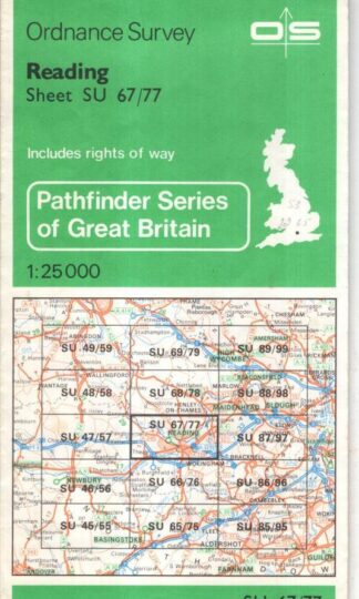
Reading (Pathfinder SU 67/77) : Ordnance Survey
£4.50 Add to cart -
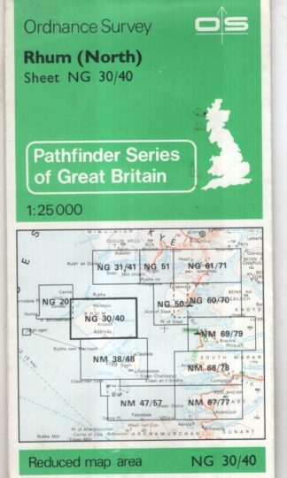
Rhum (North) (PathfinderNG 30/40) : Ordnance Survey
£4.50 Add to cart -
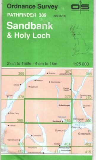
Sandbank & Holy Lochr (Pathfinder 389) : Ordnance Survey
£4.50 Add to cart -
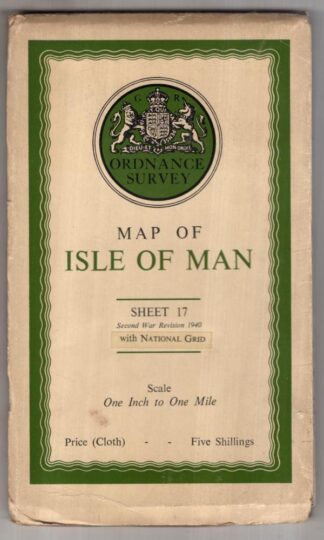
Map Of Isle Of Man – Sheet 17 : Ordnance Survey
£8.00 Add to cart -
Thurso & Dunbeath. Landranger Sheet 11 : Ordnance Survey
£4.50 Add to cart -
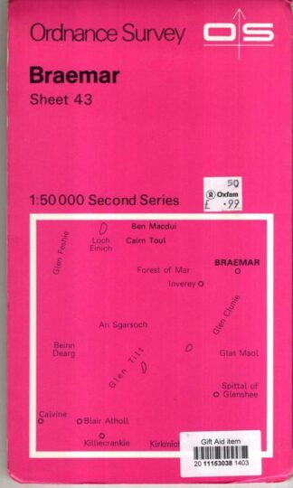
Braemar Second Series Sheet 43 : Ordnance Survey
£3.38 Add to cart -
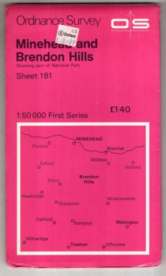
Minehead and Brendon Hills First Series Sheet 181 : Ordnance Survey
£3.38 Add to cart -
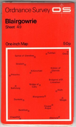
Blairgowrie Sheet 49 One-Inch Map:Ordnance Survey
£3.42 Add to cart -
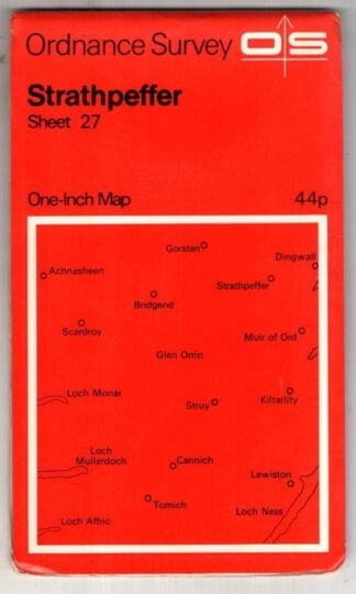
Strathpeffer Sheet 27 One-Inch Map:Ordnance Survey
£3.15 Add to cart -
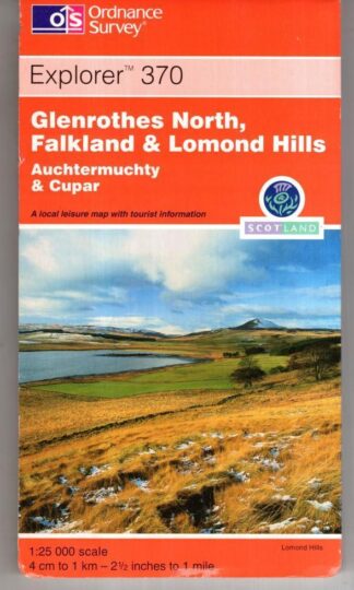
Glenrothes North, Falkland and Lomond Hills: Auchterarder: Explorer 370:Ordnance Survey
£4.50 Add to cart
Showing 33–48 of 176 resultsSorted by latest