

Maps & Topography
Showing 81–96 of 153 resultsSorted by latest
-
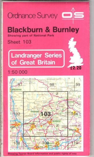
Blckburn & Burnley Landranger 103:Ordnance Survey
£3.60 Add to cart -
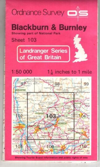
Blackburn, Burnley and Surrounding Area:Landranger 103:Ordnance Survey
£3.15 Add to cart -

Roma 1:12,500 Pianta della citta:Touring Editore
£6.75 Add to cart -

Denbigh Sheet 108. One-Inch Map:Ordnance Survey
£3.60 Add to cart -
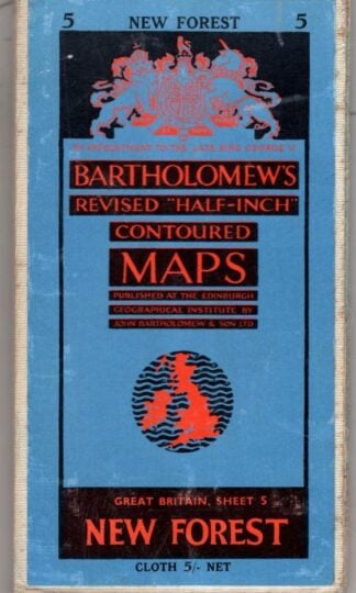
Revised Half Inch Great Britain New Forest Sheet 5:Bartholomew
£4.50 Add to cart -
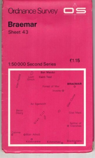
Braemar Sheet 43 Second Series:Ordnance Survey
£3.38 Add to cart -
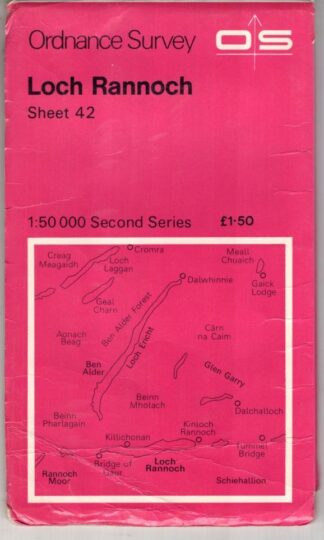
Loch Rannoch Sheet 42 Second Series:Ordnance Survey
£3.38 Add to cart -
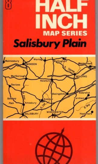
Half Inch Sheet 8 Salisbury Plain:Bartholomew
£4.50 Add to cart -
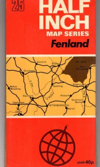
Half Inch Sheet 25 Fenland:Bartholomew
£4.50 Add to cart -
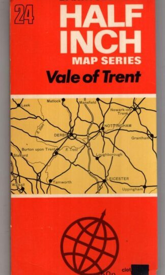
Half Inch Sheet 24 Vale Of Trent:Bartholomew
£4.50 Add to cart -
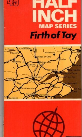
Half Inch Sheet 49 Firth Of Tay:Bartholomew
£4.50 Add to cart -
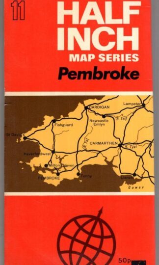
Half Inch Sheet 11 Pembroke:Bartholomew
£4.50 Add to cart -
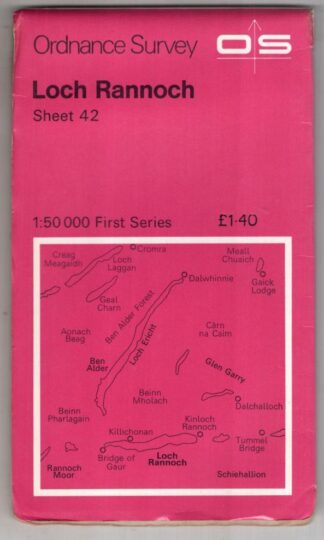
Loch Rannoch Sheet 42 First Series:Ordnance Survey
£3.38 Add to cart -
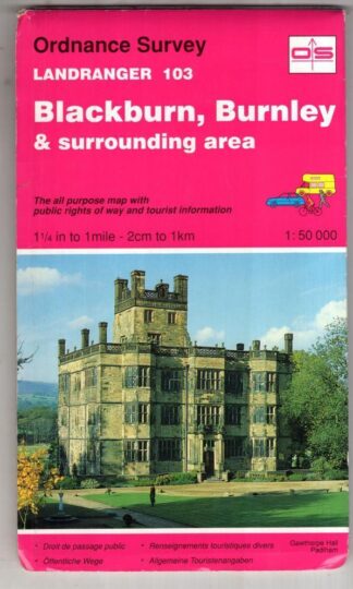
Blackburn, Burnley and Surrounding Area Landranger103:Ordnance Survey
£3.60 Add to cart -
Kendal to Morecambe Landranger 97:Ordnance Survey
£3.60 Add to cart -
Birmingham & surrounding area Landranger 139:Ordnance Survey
£3.60 Add to cart
Showing 81–96 of 153 resultsSorted by latest