

Maps & Topography
Showing 1–16 of 223 resultsSorted by latest
-
Highlands and Islands of Scotland (About Britain series, no.4) : Alistair M. Dunnett
£6.75 Add to cart -
Revised Half-Inch Contoured Map. Sheet 32 Wharfedale : Bartholomew’s
£5.40 Add to cart -

Revised Half-Inch Contoured Map. Sheet 22 Mid-Wales : Bartholomew’s
£5.40 Add to cart -
Revised Half-Inch Contoured Map. Sheet 27 North Wales : Bartholomew’s
£5.40 Add to cart -
Landranger Sheet 23 North Skye : Ordnance Survey
£4.50 Add to cart -
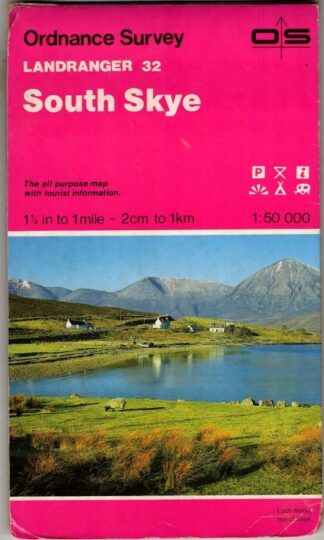
Landranger Sheet 32 South Skye : Ordnance Survey
£4.50 Add to cart -
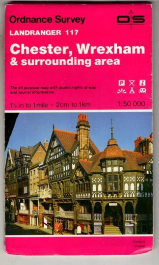
Landranger Sheet 117 Chester, Wrexham and Surrounding Area : Ordnance Survey
£4.50 Add to cart -
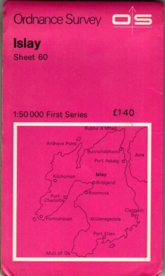
1:50,000 First Series Sheet 60 Islay : Ordnance Survey
£4.50 Add to cart -
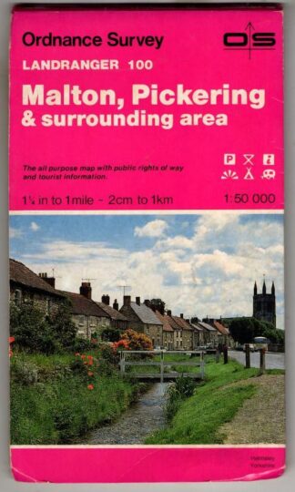
Landranger Sheet 100 Malton, Pickering and Surrounding Area : Ordnance Survey
£4.05 Add to cart -
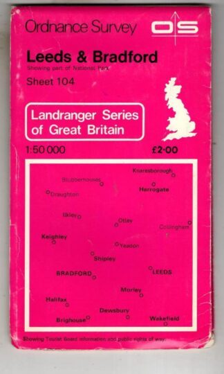
Landranger Sheet 104 Leeds & Bradford : Ordnance Survey
£4.05 Add to cart -
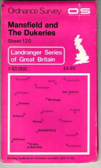
Landranger Sheet 120 Mansfield and The Dukeries : Ordnance Survey
£4.05 Add to cart -
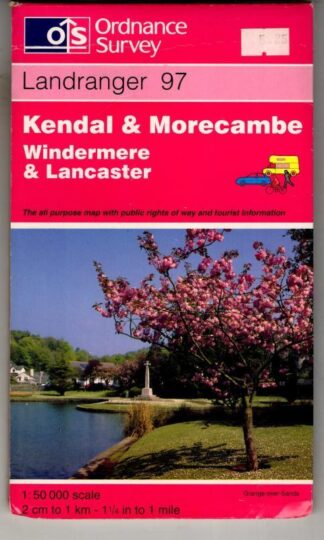
Landranger Sheet 97 Kendal & Morecambe : Ordnance Survey
£4.05 Add to cart -
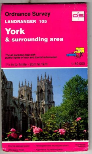
Landranger Sheet 105 York : Ordnance Survey
£4.05 Add to cart -
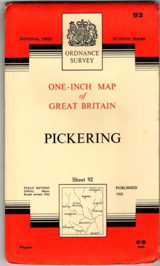
National Grid Seventh Series Sheet 92 Pickering : Ordnance Survey
£4.05 Add to cart -
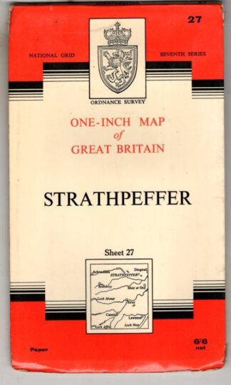
National Grid Seventh Series Sheet 27 Strathpeffer : Ordnance Survey
£4.05 Add to cart -
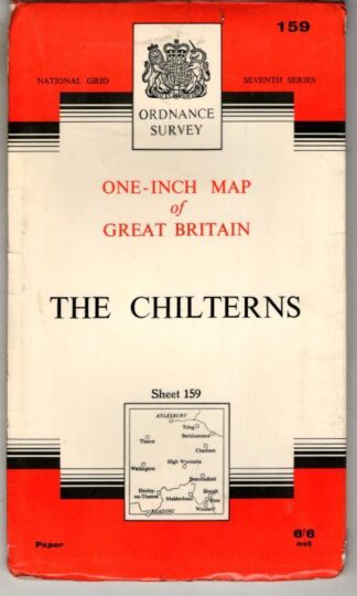
National Grid Seventh Series Sheet 159 The Chilterns : Ordnance Survey
£4.05 Add to cart
Showing 1–16 of 223 resultsSorted by latest