- You cannot add that amount to the cart — we have 1 in stock and you already have 1 in your cart. View cart
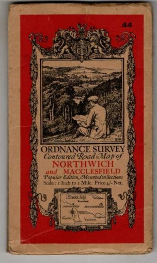
Contoured Road Map. Sheet 44, Northwich & Macclesfield : Ordnance Survey
£7.20
In stock
1934 printing, 1932 corrections. Cloth backed dissected map has some foxing, covers worn with creased corners and a taped tear to the rear hinge.
Additional information
| Author | |
|---|---|
| Format | Map |
| Weight | |
| Condition | Fair |
| Date | |
| Publisher | Ordnance Survey |
| Pages | 1 |
| Dimensions | 11 x .5 x 20 cm |
SKU
pb030-625-0228
Categories Books, Maps & Topography
New In
Related products
-

NIGHT OF ERROR. : Desmond. Bagley
£3.95 Add to cart -
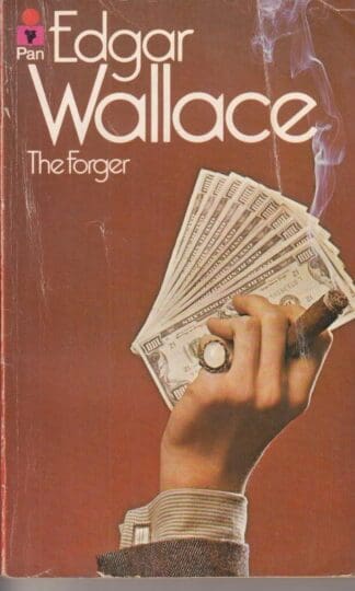
The Forger : Edgar Wallace
£3.99 Add to cart -
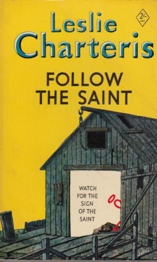
Follow the Saint : Leslie Charteris
£3.50 Add to cart -
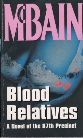
Blood Relatives : Ed McBain
£2.75 Add to cart -
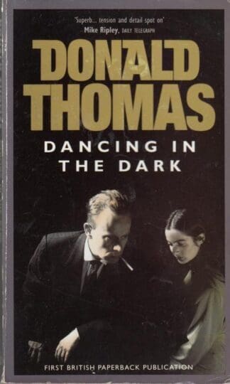
Dancing in the Dark : Donald Thomas
£3.95 Add to cart -
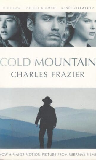
Cold Mountain : Charles Frazier
£2.80 Add to cart -
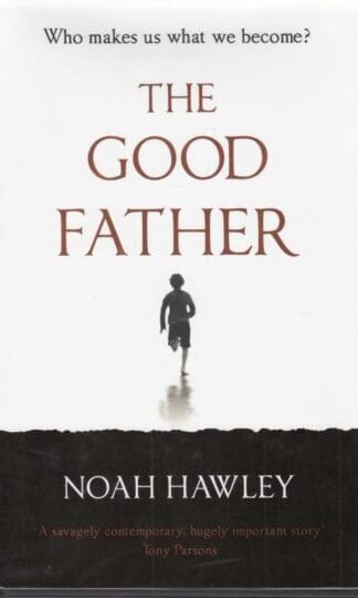
The Good Father : Noah Hawley
£20.00 Add to cart -
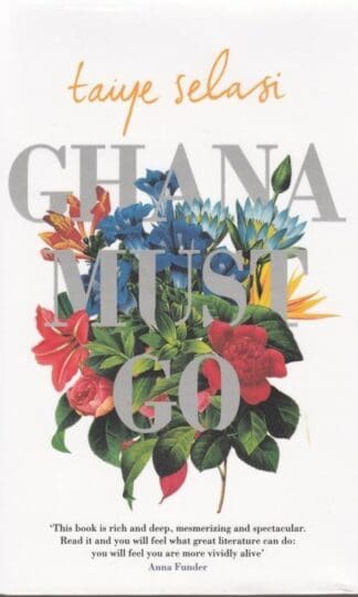
Ghana Must Go : Taiye Selasi
£30.00 Add to cart -
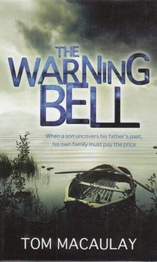
The Warning Bell : Tom Macaulay
£12.00 Add to cart -

Purity : Jonathan Franzen
£17.50 Add to cart -
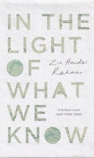
In the Light of What We Know : Zia Haider Rahman
£60.00 Add to cart -

How to Be a Good Wife : Emma Chapman
£15.00 Add to cart
