

Maps & Topography
Showing 161–176 of 176 resultsSorted by latest
-

Carte du Cours de l’Yonne, D’Auxerre A Montreau:A.Simon
£40.50 Add to cart -
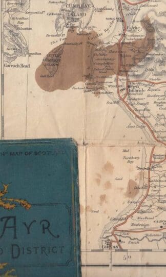
Gall & Inglis Half Inch Ayr & District:
£4.50 Add to cart -

Ordnance Survey Contoured Road Map Of Barmouth & Aberystwyth: Sheet 68:
£6.00 Add to cart -
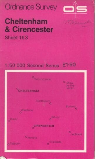
Sheet 163 Cheltenham & Cirencester:Ordnance Survey
£2.69 Add to cart -
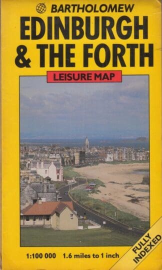
Great Britain Leisure Maps: Edinburgh and The Forth:
£3.59 Add to cart -
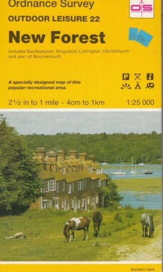
Outdoor Leisure Sheet 22 New Forest:Ordnance Survey
£3.59 Add to cart -
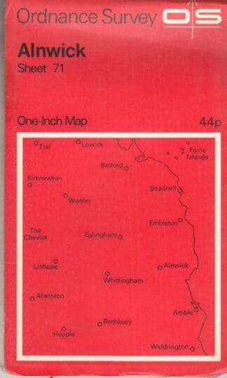
Alnwick Sheet 71:Ordnance Survey
£3.59 Add to cart -

Beloeil Tertre Ngi:
£3.59 Add to cart -
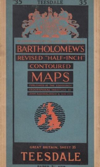
Bartholomew Sheet 35 : Bartholomew
£3.99 Add to cart -

Lorn & Lochaber (Covers Oban to Ben Nevis) One-Inch Tourist Map : Ordnance Survey
£5.50 Add to cart -
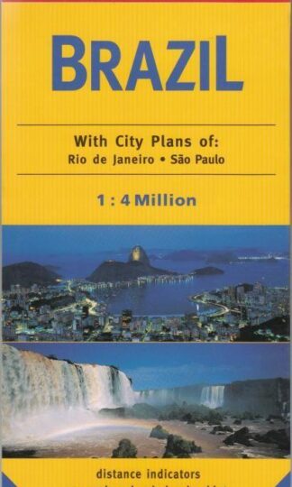
Insight Travel Maps: Brazil : Various
£10.00 Add to cart -
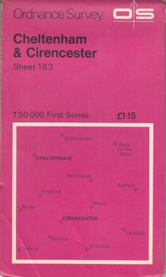
Ordnance Survey Sheet 163: Cheltenham & Cirencester, 1:50 0000 First Series : Ordnance Survey
£2.80 Add to cart -
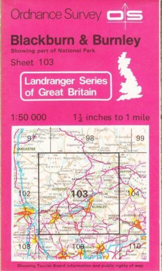
Blackburn, Burnley and Surrounding Area (Landranger Maps) :
£3.99 Add to cart -

Loch Linnhe Sheet 46 : Ordnance Survey
£3.50 Add to cart -
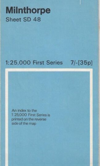
Minthorpe Sheet SD 48 :
£3.99 Add to cart -
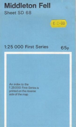
Middleton Fell Sheet SD 68 : Ordnance Survey
£4.50 Add to cart
Showing 161–176 of 176 resultsSorted by latest